- My Forums
- Tiger Rant
- LSU Recruiting
- SEC Rant
- Saints Talk
- Pelicans Talk
- More Sports Board
- Fantasy Sports
- Golf Board
- Soccer Board
- O-T Lounge
- Tech Board
- Home/Garden Board
- Outdoor Board
- Health/Fitness Board
- Movie/TV Board
- Book Board
- Music Board
- Political Talk
- Money Talk
- Fark Board
- Gaming Board
- Travel Board
- Food/Drink Board
- Ticket Exchange
- TD Help Board
Customize My Forums- View All Forums
- Show Left Links
- Topic Sort Options
- Trending Topics
- Recent Topics
- Active Topics
Started By
Message
re: Storm Tracking Thread: Post Tropical Storm Hermine
Posted on 8/31/16 at 12:57 pm to Y.A. Tittle
Posted on 8/31/16 at 12:57 pm to Y.A. Tittle
One of our finest residents
Posted on 8/31/16 at 12:58 pm to meauxjeaux2
158 pages needed to get named.
Posted on 8/31/16 at 12:59 pm to Chad504boy
quote:
158 pages needed to get named.

Posted on 8/31/16 at 1:01 pm to OldSouth
Top surface level winds thus far have been 45 kts, ~50 MPH.
The actual direction of the winds is a bit puzzling though. The flight encountered an abrupt change from SW winds to N winds around 24.6N and 86.7W, but that may not have been all that close to the center looking at the pressures.
The actual direction of the winds is a bit puzzling though. The flight encountered an abrupt change from SW winds to N winds around 24.6N and 86.7W, but that may not have been all that close to the center looking at the pressures.
Posted on 8/31/16 at 1:01 pm to meauxjeaux2
"Hermine" = cave man's wedding vows
Posted on 8/31/16 at 1:02 pm to DawgCountry
Know its Hermine but I read hermione.

Posted on 8/31/16 at 1:03 pm to slackster
The plane seems to be confirming this


Posted on 8/31/16 at 1:04 pm to meauxjeaux2
It hit 312 pages on the storm tracking website.
This post was edited on 8/31/16 at 1:07 pm
Posted on 8/31/16 at 1:06 pm to TheWiz
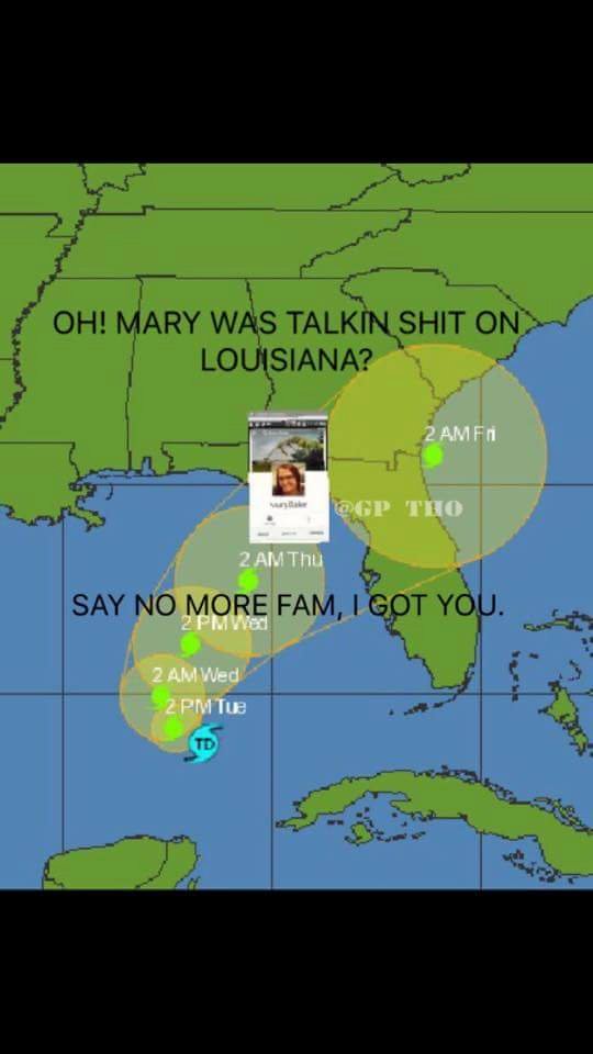
12z Euro is another bump to the west with landfall around Port St. Joe, FL. The good news in all of this, Louisiana will be in the subsidence zone and should have dry warm weather for the next couple of days.
Posted on 8/31/16 at 1:08 pm to SECretariat
From NHC @ 1PM CDT:
That direction and location seems a little suspect as it doesn't appear they've even flown through 88.0W at this point, but I suppose the information we get online from the flight may be delayed quite a bit.
quote:
LOCATION...24.7N 88.0W
ABOUT 395 MI...640 KM SSW OF APALACHICOLA FLORIDA
ABOUT 415 MI...665 KM WSW OF TAMPA FLORIDA
MAXIMUM SUSTAINED WINDS...40 MPH...65 KM/H
PRESENT MOVEMENT...N OR 10 DEGREES AT 2 MPH...4 KM/H
MINIMUM CENTRAL PRESSURE...1000 MB...29.53 INCHES
That direction and location seems a little suspect as it doesn't appear they've even flown through 88.0W at this point, but I suppose the information we get online from the flight may be delayed quite a bit.
Posted on 8/31/16 at 1:12 pm to slackster
Media is so desperate for a Gulf hurricane. Fox8 text alert....Hurricane forms in south central gulf.
This post was edited on 8/31/16 at 1:14 pm
Posted on 8/31/16 at 1:14 pm to slackster
really wondering why they only upped it to 40mph. that's 10mph lower than the max winds recon found.
Posted on 8/31/16 at 1:17 pm to baytiger
quote:
really wondering why they only upped it to 40mph. that's 10mph lower than the max winds recon found.
I haven't been following this recon mission, is it possible that those readings were contaminated? Also, it looks like the western side of the circulation is about to be exposed again as the cirrus thins out.
Posted on 8/31/16 at 1:18 pm to slackster
Since the storm has not been stacked the center being different at a couple of different elevations shouldn't be surprising. NHC is using the most westward center of LLC. Recon may have found MLC
Posted on 8/31/16 at 1:20 pm to rds dc
quote:even if the 45kts were contaminated, there's a pile of 40kt readings.
I haven't been following this recon mission, is it possible that those readings were contaminated?
I'm guessing they just wrote it up before those readings came in.
Posted on 8/31/16 at 1:34 pm to baytiger
Gotta love this Euro run, brings it back out over water and looks like it is going to NYC but then doubles back and heads towards DC before turning back out to the Atlantic. Talk about a headline news wet dream, "NYC and DC under the Gun!"
Posted on 8/31/16 at 1:37 pm to Y.A. Tittle
quote:
OT Ballin' hard!
Yeah, Boiyeeee!!!
Popular
Back to top


 0
0


