- My Forums
- Tiger Rant
- LSU Recruiting
- SEC Rant
- Saints Talk
- Pelicans Talk
- More Sports Board
- Fantasy Sports
- Golf Board
- Soccer Board
- O-T Lounge
- Tech Board
- Home/Garden Board
- Outdoor Board
- Health/Fitness Board
- Movie/TV Board
- Book Board
- Music Board
- Political Talk
- Money Talk
- Fark Board
- Gaming Board
- Travel Board
- Food/Drink Board
- Ticket Exchange
- TD Help Board
Customize My Forums- View All Forums
- Show Left Links
- Topic Sort Options
- Trending Topics
- Recent Topics
- Active Topics
Started By
Message
How do surveyors determine elevation of land?
Posted on 8/13/16 at 6:10 am
Posted on 8/13/16 at 6:10 am
Just a thought that popped into my head, and figured someone on the OB could answer.
 3
3

Posted on 8/13/16 at 6:20 am to upgrade
They use GPS now to establish benchmarks.
ETA: that is one of the most boring jobs ever! Sat on side of the interstate for 10 hours watching a GPS antenna.
ETA: that is one of the most boring jobs ever! Sat on side of the interstate for 10 hours watching a GPS antenna.
This post was edited on 8/13/16 at 6:40 am
Posted on 8/13/16 at 6:39 am to civiltiger07
But bechmarks existed well before satellites. Like 1800s.
Think of another way!
Think of another way!
Posted on 8/13/16 at 6:41 am to Pectus
I don't exactly how they were established then that's why I didn't comment on it. I just know how it's done now. Which I think is the more relevant topic for the OP anyway.
Posted on 8/13/16 at 6:43 am to upgrade
Depends on the equipment you use. I've used laser levels and the eye levels. You basically shoot a benchmark (permanent feature), and then all of your shots after that are based on the elevation of that bench mark.
That's an oversimplification, but that is basically it.
That's an oversimplification, but that is basically it.
Posted on 8/13/16 at 6:45 am to civiltiger07
Almost the same methods are used, just with better tech and sensitive instruments.
An altimeter, basically a barometer, was and still is used, as well as GPS. Neither are that precise alone, but together...they get the job done.
Teachable moment though!
An altimeter, basically a barometer, was and still is used, as well as GPS. Neither are that precise alone, but together...they get the job done.
Teachable moment though!
This post was edited on 8/13/16 at 6:48 am
Posted on 8/13/16 at 6:45 am to Pectus
Depends on what you are surveying, but the benchmarks I have used have not been there that long. Hell, some of them weren't there when we got there.
Posted on 8/13/16 at 6:49 am to Cowboyfan89
Well, the man wanted to know about sea level.
And benchmarks that are recent are there now because of being based off of other older benchmarks.
And benchmarks that are recent are there now because of being based off of other older benchmarks.
Posted on 8/13/16 at 6:53 am to upgrade
I beg back in the day they used sextants to determine elevation. Figure out which line of longitude you're on using the sun and the stars then determine elevation by measuring an angle between the horizon and the North star and compare that to what it would be if the earth were perfectly round with no changes in elevation.
That's a complete guess. I have no idea.
That's a complete guess. I have no idea.
This post was edited on 8/13/16 at 6:57 am
Posted on 8/13/16 at 6:55 am to Pectus
No, definitely not. The surveys I have done were not based on some cement corner post or anything of the sort. The benchmarks were fence posts, wells, or something else that was not based on anything particular.
Now, the surveying I have done was not civil in nature, but rather agricultural.
Maybe I didn't read into what he was asking as much as you did, because it seemed like a very general question to me, with no indication that he was asking about anything related to sea level (he never said that specifically).
ETA: I don't doubt that what you've said is right, just adding my experience with surveying.
This post was edited on 8/13/16 at 6:58 am
Posted on 8/13/16 at 6:59 am to Cowboyfan89
quote:
sea level
Perhaps I should have been more clear, but this is what I was referring too
Posted on 8/13/16 at 7:02 am to Cowboyfan89
Posted on 8/13/16 at 7:03 am to Pectus
How do you get into surveying? I find it interesting.
Posted on 8/13/16 at 7:06 am to upgrade
That makes sense. Just didn't gather that from what you said. No prob.
Posted on 8/13/16 at 7:14 am to Cowboyfan89
There are government established "monuments" that are in various places around your city that they use.
Posted on 8/13/16 at 7:19 am to GeauxxxTigers23
quote:
How do you get into surveying? I find it interesting
It's interesting until you are neck deep in water holding a rod. Gets real uninteresting quickly
Posted on 8/13/16 at 7:22 am to Howard Juneau
Understand that. But as I stated, I did not inderstand that he was asking specifically about elevation in relation to sea level.
Posted on 8/13/16 at 7:30 am to Cowboyfan89
quote:
Understand that. But as I stated, I did not inderstand that he was asking specifically about elevation in relation to sea level.
If you want to get into it in a cheap way, you can do the following...
Get a +6 foot piece of straight lumber and make 6 inch markings all along it. At the 6 ft take a small piece of wood and make it level at that height.

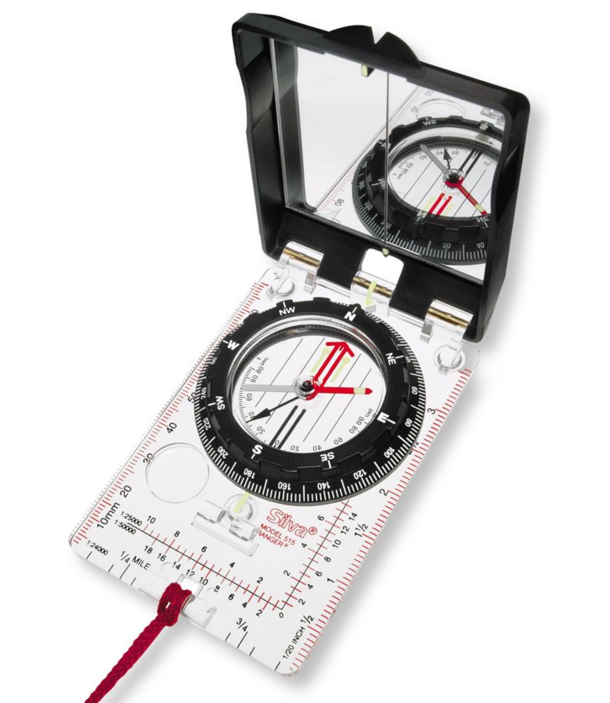
Next, you can use an app on your phone or get a cheap Silva Ranger compass.
Then all you need to do is learn how to take a bearing and then inclination and then the two over a distance...accurately. If you can do that you can survey anywhere...
But companies have way more sophisticated equipment. That is the bare bones stuff...
Like another poster said, hope you like getting into water, brambles, and ticks/gnats/skeeters.

Posted on 8/13/16 at 1:08 pm to civiltiger07
Or your semi-handicapped boss tells you you have to build a bridge to get him across a stream. After arguing how that would be a waste of time, we ended up grabbing him and carrying him across.
All of it I ever helped with was in the woods back in the 70's. I was in HS and was just there to clear a path through the woods. Pretty sure they used something on the side of the road as a starting point.
All of it I ever helped with was in the woods back in the 70's. I was in HS and was just there to clear a path through the woods. Pretty sure they used something on the side of the road as a starting point.
Posted on 8/13/16 at 2:33 pm to civiltiger07
quote:Presumably (hopefully) that was quite a few years ago. Or else you're using semi-antiquated receivers.
that is one of the most boring jobs ever! Sat on side of the interstate for 10 hours watching a GPS antenna.
Modern GPS receiver need nowhere near that length of time to get a set of observations.
In response to the OP: While we still (casually) use the terms "sea level" and "mean sea level" when referencing elevations, technically we refer elevations to a datum that is based on orthometric heights and the geoid (e.g. NAVD 88). "Mean Sea Level" varies among various bodies of water, and is changing somewhat (slightly) due to recent increases in temperature at the poles (and the resultant melting of ice caps).

 Page 1 of 2

Popular
Back to top