- My Forums
- Tiger Rant
- LSU Recruiting
- SEC Rant
- Saints Talk
- Pelicans Talk
- More Sports Board
- Fantasy Sports
- Golf Board
- Soccer Board
- O-T Lounge
- Tech Board
- Home/Garden Board
- Outdoor Board
- Health/Fitness Board
- Movie/TV Board
- Book Board
- Music Board
- Political Talk
- Money Talk
- Fark Board
- Gaming Board
- Travel Board
- Food/Drink Board
- Ticket Exchange
- TD Help Board
Customize My Forums- View All Forums
- Show Left Links
- Topic Sort Options
- Trending Topics
- Recent Topics
- Active Topics
Started By
Message
re: Let's Do It Again: Severe Threat 3/30 - Line of Severe Storms leaving SELA. AL in it now
Posted on 4/1/22 at 3:00 pm to LegendInMyMind
Posted on 4/1/22 at 3:00 pm to LegendInMyMind
quote:
I don't think we are anywhere near where we need to be in judging ultimate intensity by the CC presentation. I just don't think we understand it enough, yet. How does distance from the radar/tilt height change presentation and how does it correlate to ground truth?
I'm saying you find the tilt on CC that shows you the highest point of the CC dropout. You can use that to know the height of the debris. This has been shown to work reasonably well to estimate strength of a tornado if you have the gate to gate to compare it to.
 2
2

Posted on 4/2/22 at 11:46 am to Duke
Hey Duke, if you come back around to this thread, look at what they're going to be incorporating into Tornado Archive:
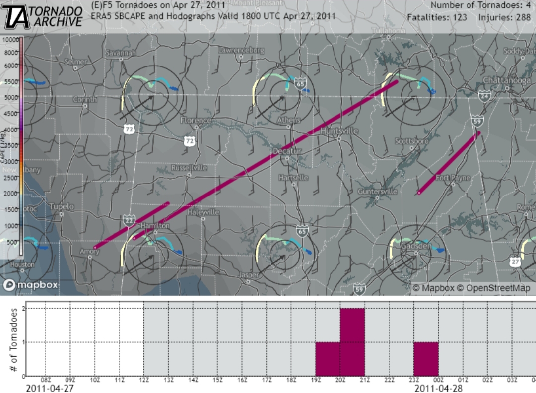
I just spent a good 5-10 minutes trying to figure out how to get the overlay on the site, only to read a tweet that it isn't live or public yet.
I just spent a good 5-10 minutes trying to figure out how to get the overlay on the site, only to read a tweet that it isn't live or public yet.

 Page 1 of 1


Popular
Back to top