- My Forums
- Tiger Rant
- LSU Recruiting
- SEC Rant
- Saints Talk
- Pelicans Talk
- More Sports Board
- Fantasy Sports
- Golf Board
- Soccer Board
- O-T Lounge
- Tech Board
- Home/Garden Board
- Outdoor Board
- Health/Fitness Board
- Movie/TV Board
- Book Board
- Music Board
- Political Talk
- Money Talk
- Fark Board
- Gaming Board
- Travel Board
- Food/Drink Board
- Ticket Exchange
- TD Help Board
Customize My Forums- View All Forums
- Show Left Links
- Topic Sort Options
- Trending Topics
- Recent Topics
- Active Topics
Started By
Message
Louisiana / Gulf Coast Weather Predictions for Week 8/29/16 not 17
Posted on 8/26/16 at 1:25 pm
Posted on 8/26/16 at 1:25 pm
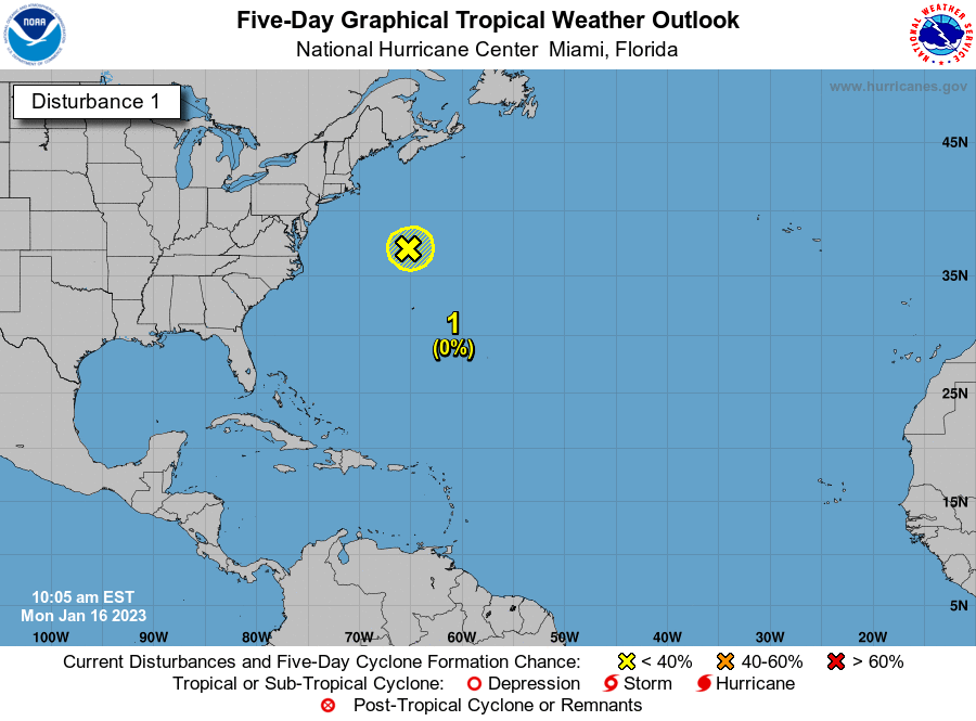
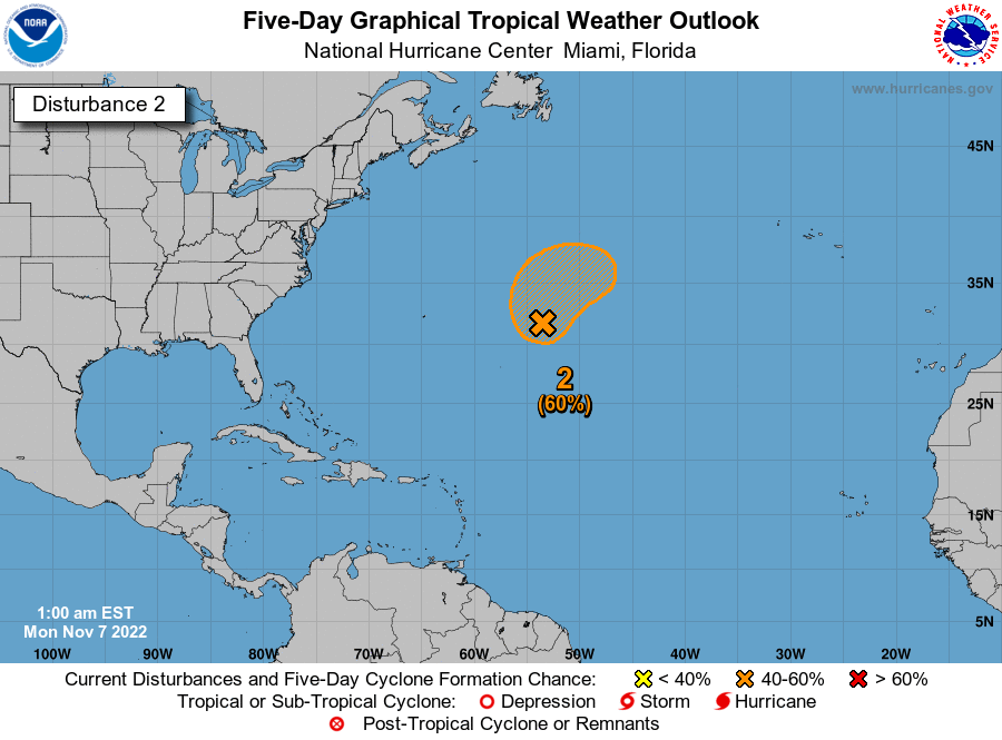
So, the orange MF has a 60% chance to slap Louisiana with it's western side as a named storm. That would suck donkey nuts.

The yellow MF has a 10% chance to do swirl and rain some in Texas.

LINK To NHC

The yellow MF has a 10% chance to do swirl and rain some in Texas.

LINK To NHC
quote:
CZC MIATWOAT ALL TTAA00 KNHC DDHHMM TROPICAL WEATHER OUTLOOK NWS NATIONAL HURRICANE CENTER MIAMI FL 800 AM EDT FRI AUG 26 2016 For the North Atlantic...Caribbean Sea and the Gulf of Mexico: The National Hurricane Center is issuing advisories on Tropical Storm Gaston, located about 1200 miles east-southeast of Bermuda. 1. A weak area of low pressure extending from eastern Cuba northward to the central Bahamas is producing disorganized shower and thunderstorm activity. Upper-level winds are expected to remain unfavorable for significant development during the next couple of days while the system moves west-northwestward at about 10 mph. Environmental conditions could become a little more conducive for development early next week when the system moves into the eastern Gulf of Mexico. The Air Force Reserve Hurricane Hunter aircraft scheduled to investigate this system this morning has been canceled. Regardless of development, heavy rains, with the potential to cause flash floods and mud slides, are likely over Hispaniola today and over eastern and central Cuba through the weekend. Gusty winds and locally heavy rainfall are likely over portions of the Bahamas, and will likely spread into parts of South Florida and the Florida Keys over the weekend. Interests elsewhere in Florida and the eastern Gulf of Mexico should continue to monitor the progress of this disturbance. * Formation chance through 48 hours...low...20 percent * Formation chance through 5 days...medium...60 percent 2. A weak area of disturbed weather is located over the north-central Gulf of Mexico. Surface pressures in this area are currently high, and little to no development of this system is expected before it reaches the coast of Texas over the weekend. * Formation chance through 48 hours...low...10 percent * Formation chance through 5 days...low...10 percent Forecaster Brennan/Brown
This post was edited on 8/26/16 at 1:40 pm
Posted on 8/26/16 at 1:26 pm to TigerDik86
You missed the 100 page thread on the first page?
Posted on 8/26/16 at 1:33 pm to TigerDik86
quote:
Weather Predictions for Week 8/29/17
So, this shite is happening again next year too? I'll be a sumbitch.
This post was edited on 8/26/16 at 1:38 pm
Posted on 8/26/16 at 1:37 pm to lsugerberbaby
quote:Maybe my yard will have a chance to dry out now
Weather Predictions for Week 8/29/17
Posted on 8/26/16 at 1:39 pm to ForeverLSU02
My dumbass. Sorry guys!
Posted on 8/26/16 at 1:45 pm to TigerDik86
quote:orange mother fricker?
orange MF
Popular
Back to top
 4
4


