- My Forums
- Tiger Rant
- LSU Recruiting
- SEC Rant
- Saints Talk
- Pelicans Talk
- More Sports Board
- Fantasy Sports
- Golf Board
- Soccer Board
- O-T Lounge
- Tech Board
- Home/Garden Board
- Outdoor Board
- Health/Fitness Board
- Movie/TV Board
- Book Board
- Music Board
- Political Talk
- Money Talk
- Fark Board
- Gaming Board
- Travel Board
- Food/Drink Board
- Ticket Exchange
- TD Help Board
Customize My Forums- View All Forums
- Show Left Links
- Topic Sort Options
- Trending Topics
- Recent Topics
- Active Topics
Started By
Message
re: How do surveyors determine elevation of land?
Posted on 8/13/16 at 7:22 am to Howard Juneau
Posted on 8/13/16 at 7:22 am to Howard Juneau
Understand that. But as I stated, I did not inderstand that he was asking specifically about elevation in relation to sea level.
Posted on 8/13/16 at 7:30 am to Cowboyfan89
quote:
Understand that. But as I stated, I did not inderstand that he was asking specifically about elevation in relation to sea level.
If you want to get into it in a cheap way, you can do the following...
Get a +6 foot piece of straight lumber and make 6 inch markings all along it. At the 6 ft take a small piece of wood and make it level at that height.

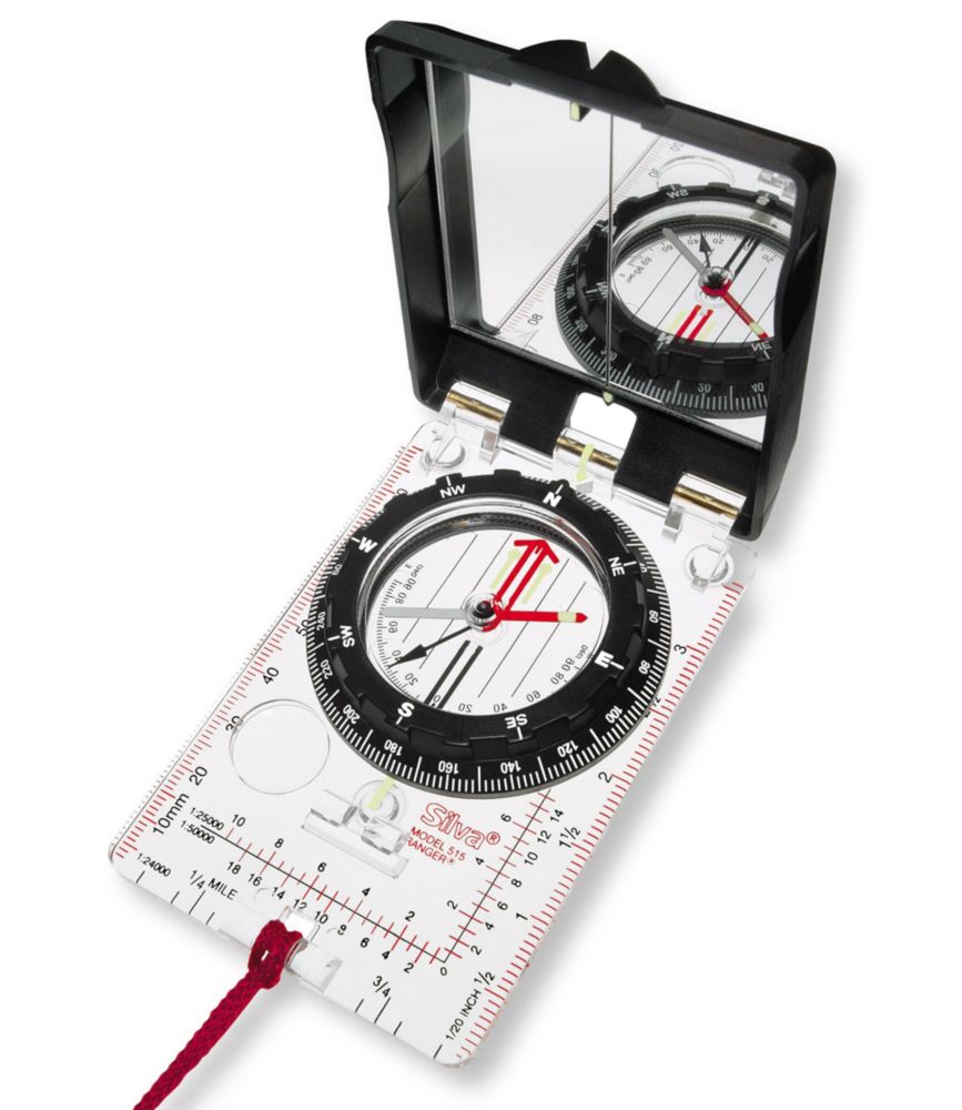
Next, you can use an app on your phone or get a cheap Silva Ranger compass.

Then all you need to do is learn how to take a bearing and then inclination and then the two over a distance...accurately. If you can do that you can survey anywhere...
But companies have way more sophisticated equipment. That is the bare bones stuff...
Like another poster said, hope you like getting into water, brambles, and ticks/gnats/skeeters.
Popular
Back to top
 1
1


