- My Forums
- Tiger Rant
- LSU Recruiting
- SEC Rant
- Saints Talk
- Pelicans Talk
- More Sports Board
- Fantasy Sports
- Golf Board
- Soccer Board
- O-T Lounge
- Tech Board
- Home/Garden Board
- Outdoor Board
- Health/Fitness Board
- Movie/TV Board
- Book Board
- Music Board
- Political Talk
- Money Talk
- Fark Board
- Gaming Board
- Travel Board
- Food/Drink Board
- Ticket Exchange
- TD Help Board
Customize My Forums- View All Forums
- Show Left Links
- Topic Sort Options
- Trending Topics
- Recent Topics
- Active Topics
Started By
Message
re: Preliminary Ratings: Lacombe Tornado - EF1; NOLA/Arabi Tornado - EF3
Posted on 3/26/22 at 10:03 am to Duke
Posted on 3/26/22 at 10:03 am to Duke
Todays update is not encouraging


quote:
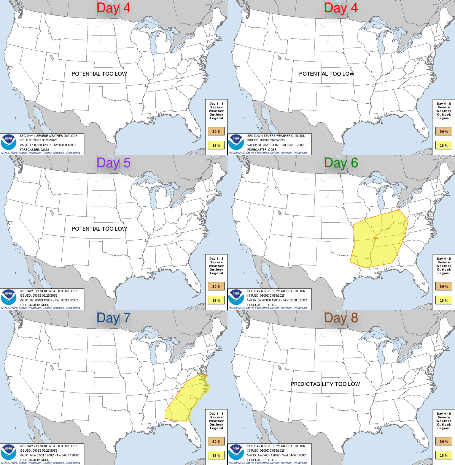
Severe potential will accompany this shortwave as it progresses eastward, beginning across the southern and central Plains on D4/Tuesday. Strong moisture advection will precede the shortwave across the Plains, with low 60s dewpoints potentially reaching through eastern OK by Tuesday evening. A well-developed EML atop this returning moisture will support moderate buoyancy. A sharp dryline will intersect with this buoyancy to support thunderstorm development, with the mesoscale ascent along the dryline aided by strengthening large-scale ascent. Supercell wind profiles will support updraft organization and the potential for all severe hazards. The severe weather threat will continue into the Lower/Mid MS Valley on D5/Wednesday. Buoyancy will be weaker here than farther west on D4/Tuesday, but both low- and mid-level flow will be very strong. Current guidance suggests mid-level flow within the now negatively tilted trough will exceed 100 kt at 500 mb. A large area of 60-65 kt 850 mb winds is expected. This will result in large, looping hodographs that support organized severe thunderstorms. Convective mode will have a large influence on the dominant severe type, but a discrete mode would result in the potential for long-lived supercells. Even if the mode is more linear (which appears most likely at this point), the strong wind fields support the potential for numerous severe gusts as well as embedded QLCS circulations.
Popular
Back to top
 0
0


