- My Forums
- Tiger Rant
- LSU Recruiting
- SEC Rant
- Saints Talk
- Pelicans Talk
- More Sports Board
- Fantasy Sports
- Golf Board
- Soccer Board
- O-T Lounge
- Tech Board
- Home/Garden Board
- Outdoor Board
- Health/Fitness Board
- Movie/TV Board
- Book Board
- Music Board
- Political Talk
- Money Talk
- Fark Board
- Gaming Board
- Travel Board
- Food/Drink Board
- Ticket Exchange
- TD Help Board
Customize My Forums- View All Forums
- Show Left Links
- Topic Sort Options
- Trending Topics
- Recent Topics
- Active Topics
Started By
Message
re: Central & Southern U.S. Severe Weather Continues: 4/27/2024 - 4/29/2024
Posted on 4/27/24 at 4:34 pm to Roll Tide Ravens
Posted on 4/27/24 at 4:34 pm to Roll Tide Ravens
See how on Reflectivity the rain is being wrapped back around the forward flank of the storm(s)? That's more of what we see down here instead of the really good venting that storms out on the Plains usually get. Makes it tough on chasers as you have to be close and almost tucked into the inflow notch region to get anything close to a clear look.
This post was edited on 4/27/24 at 4:35 pm
 2
2

Posted on 4/27/24 at 4:43 pm to LegendInMyMind
Tornado Warning west of OK city. Located 5 miles nw of Calmut moving ne at 35 mph. This storm is producing golf ball size hail. Seek shelter immediately

Posted on 4/27/24 at 4:44 pm to LegendInMyMind
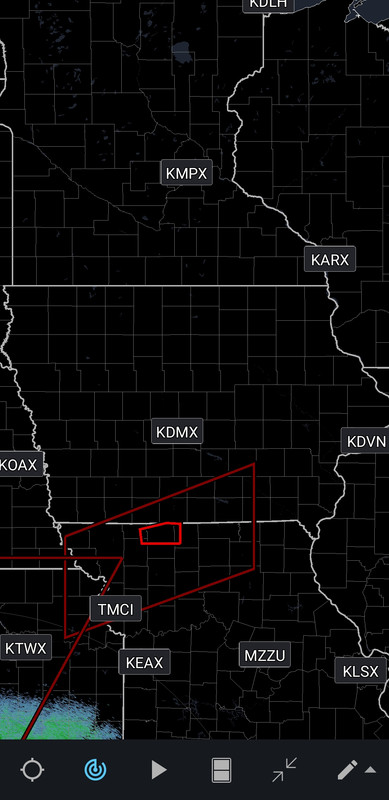
Man, Iowa really did just mail it in on laying out their counties, didn't they?

 Page 1 of 1


Back to top